


Keeping Satellites Functional On Oahu’s North Shore
In the hills overlooking Oahu’s north shore, world famous for its triple crown of surfing waves, sits a cluster of satellites peering up into the sky. These satellites are owned and operated by SES, the world leader in satellite services, and provide everything from HD television broadcast feeds to high-speed internet. While these satellites are controlled by a remote network operations group, the on-site team is in charge of maintenance, up-keep and making sure the satellites are always capable of tracking their birds (that’s industry slang for a satellite).
While recently visiting Sunset Beach, we had the pleasure of visiting one of the SES on-site satellite technicians, Joseph Musachia. Joseph was kind enough to give us a tour of the facilities and let us know how our Davis Instruments Vantage Pro2 weather station helps them do their job.
 As we walked amongst the satellite dishes, Joseph pointed out the humming sound made by a rain blower that constantly blows on a mylar sheet that covers the satellite receiver at the center of the dish. This blower is running constantly because at Ku frequencies (*Ku is a band used mostly for satellite communications, 12 - 18 GHz) any form of moisture can severely attenuate the signal, causing outages and poor service for customers.
 Last February, as Joseph was driving home from work, he received a phone call from the remote control group reporting a low signal on a specific satellite, so he turned around and headed back to work. As he approached Sunset Beach he noticed that it was raining very hard; in fact the road up to the satellite site had turned into a shallow river. The control group continued calling as a single issue spread to every satellite. When he arrived, not only was the rain rate too high for the rain blowers to overcome, but the rain was flooding a shelter full of equipment that he was able to save by temporarily shutting everything down.
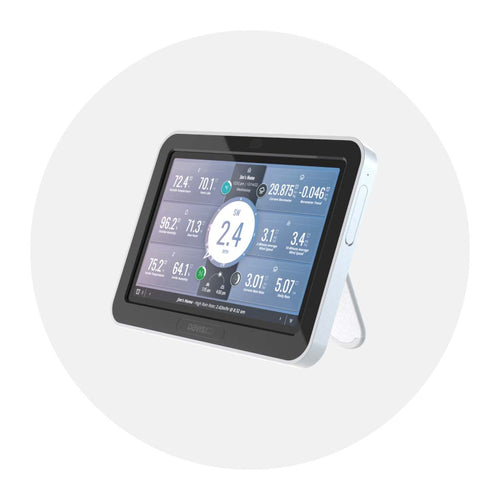
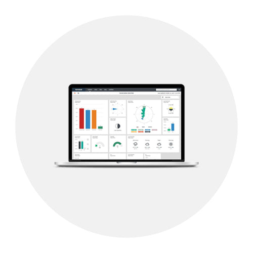
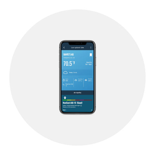
 The remote control group now uses the online weather data from the on-site Davis Instruments station to help understand if the problem is rain attenuation, and to check the site for high winds, temperature and humidity. It has become such a reliable source for data that other nearby satellite providers use SES’s station for the same information. It’s also saved Joseph a few trips back to the site, since he can receive rate-specific rain alarms and remotely diagnose the issue from the comfort of his home.
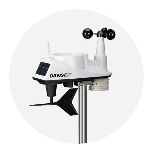
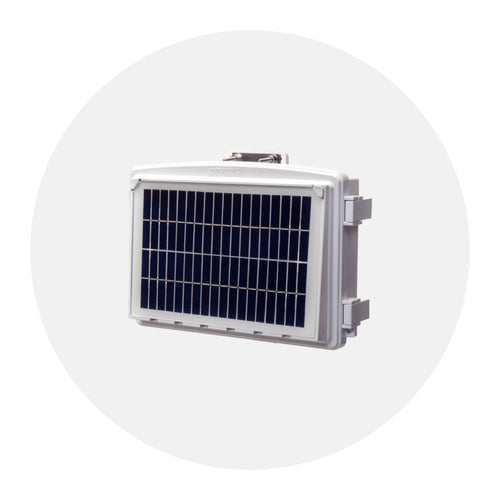
Joseph also pointed out how quickly a satellite can break down in the Hawaiian island environment of salt water, heavy rains, high humidity and intense solar exposure. Constant and diligent maintenance is required to keep their satellites functioning properly, but to Joseph’s surprise their Davis Vantage Pro2 had been running in these same conditions without issue for over 10 years. He was amazed by the rugged durability and reliability of the Davis Instruments station.
Thank you to Joseph for taking the time to share the story of his Davis Instruments station with us. We love hearing about how our stations are being used around the world. If you have a story to share, please send us an email to hello@davisinstruments.com.

![]()
In the face of escalating environmental risks, AEM is the essential source for insights on weather, climate, lightning, floods, wildfires, water management, and more.
Learn more about AEM and all of our solutions here.