


Navigation at sea refers to the process of determining a vessel's position, planning and executing a safe course, and maintaining a proper track while sailing on the open waters. It involves using various tools, techniques, and instruments to navigate accurately and safely from one point to another. The primary goal of navigation at sea is to ensure the vessel's safe passage, avoid hazards, and reach the intended navigation.
Navigation at sea encompasses several key elements:
Position Determination: Determining the vessel's current position is crucial for navigation. This is typically done using navigational aids such as GPS (Global Positioning System), radar, electronic charting systems and celestial navigation techniques.
Charting and Route Planning: Navigators use nautical charts and electronic charting systems to plan the vessel's route. They consider factors like weather conditions, currents, depth of water, and navigational hazards to select the safest and most efficient course.
Dead Reckoning: Dead reckoning involves estimating the vessel's position based on its previous known position, course, speed, and time. It allows navigators to make position fixes and track their progress between known points.
Piloting: Piloting involves using visual references, landmarks, and navigational aids near the coast to determine the vessel's position and track its progress. Pilots rely on lighthouses, buoys, beacons, and other markers to navigate safely in coastal or confined waters.
Celestial Navigation: Celestial navigation involves using celestial bodies, such as the sun, moon, stars, and planets to determine the vessel's position. By measuring the angle between celestial bodies and the horizon, navigators can calculate their latitude and longitude.
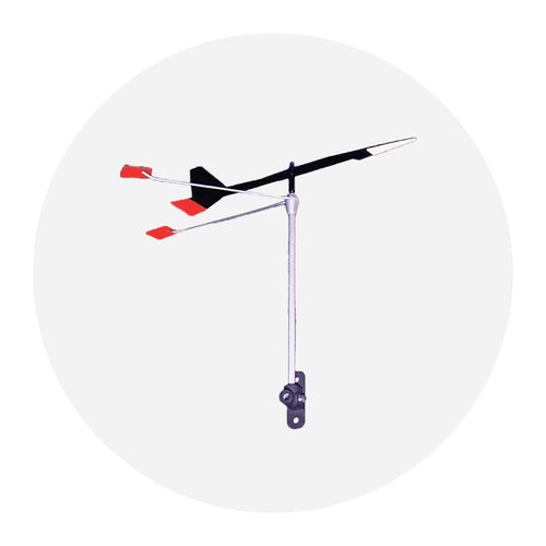
Navigational Instruments: Navigational instruments, such as compasses, sextants, depth sounders, and radar, are used to gather information about the vessel's surroundings, water depth, direction, and other relevant data.
Navigational Rules and Regulations: Navigators must adhere to international rules of the road, known as COLREGS (International Regulations for Preventing Collisions at Sea), which govern the conduct of vessels to ensure safe navigation and avoid collisions. Local navigation rules may also apply.
Passage Monitoring: Navigators continuously monitor the vessel's progress, comparing the actual position with the planned route. They assess the impact of factors like wind, current, and weather conditions, making adjustments as necessary to stay on course.
The practice of navigation at sea requires knowledge, skill, experience, and a thorough understanding of navigational tools and techniques. Navigators must also stay updated on maritime regulations, weather conditions, and navigational trends. Wither proper navigation practices and continuous monitoring, vessels can safely traverse the seas and reach their destinations while minimizing risks and ensuring the safety of the crew and the vessel.